
The Russian drone pilots had bedded down for the night. Their white vehicle was parked in the driveway of a small house in occupied southern Ukraine.
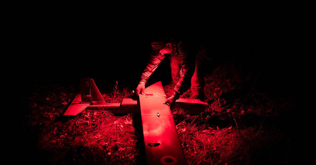
About 30 miles away, two Ukrainian drone pilots had parked their truck in a tree line at the edge of a field and assembled a medium-size drone loaded with two bombs.
Their target? The sleeping Russian drone pilots.
The Ukrainian team had a powerful new battlefield tool that night: high-tech satellite imagery providing near real-time information on troop movements and locations.
A year ago, it could take days for satellite imagery to get to frontline troops, slowed by less sophisticated technology and layers of command structure. That made it difficult to hit targets that can move locations, like troops in a house, with long-range drone strikes. Now, a support team monitoring the house provided the drone operators a fresh satellite image showing the car in the driveway, an indication the Russians were there.
“The target is confirmed,” whispered one of the pilots, who identified himself with the call sign Tikhi, in accordance with Ukrainian military protocol.
The rapid delivery of high-quality satellite images to frontline troops is one the key battlefield advancements of the last year, enabling Ukraine to strike quickly against weapons depots, logistical hubs and troop encampments deep within territory held by Russia, and in Russia itself.